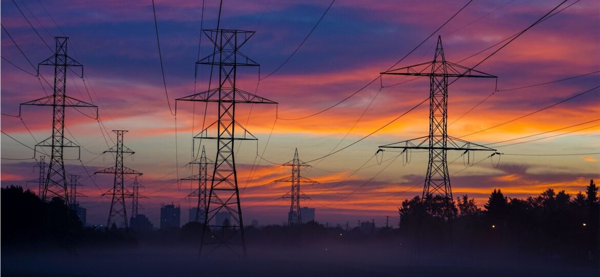
Utility companies employ Geographic Information Systems (GIS) to capture, manage, store, and share high-resolution information and accurate 3D geospatial models. Accurate GIS data is crucial in power pole inspections as it gives vital information such as pole location and condition.
It helps utilities identify electrical assets needing maintenance, repair, or replacement. Prioritizing inspection schedules and directing resources to poles needing immediate attention minimizes the risks of unplanned power outages, electrical accidents, or wildfires. This article discusses ways Mile High Drones can help utilities improve GIS data accuracy.
Benefits of Using Mile-High Drones for GIS
Before the advent of drones, utility companies relied on manual inspections, which were tedious and time-consuming. Today, the power pole inspection process is more efficient, safer, cost-effective, and quicker; thanks to drone technology. GIS is a field that greatly benefits from using professional GIS mapping drones.
Depending on the application, drones or Unmanned Aerial Vehicles (UAVs) can carry payloads like cameras, hyperspectral sensors, or barometers to record data. These attachments enable drones to collect geospatial information required for GIS processing from difficult-to-reach or dangerous areas and provide high-quality imagery. GIS professionals benefit immensely from drone surveying.
Topographic surveys of the same measurements taken by traditional methods can now be completed in a fraction of the time. It significantly cuts the cost of site inspections and the workload of field specialists. Drone technology benefits the GIS industry by making geospatial data collection more accessible and less expensive. Traditionally, a standard aircraft was rented, and recording instruments such as infrared cameras were attached to the plane.
This information gathering was often a lengthy and costly process. Drones are flexible enough to fit between buildings and map out spatial information in tighter structures. After collecting data, the geospatial information required for various applications is stored, processed, and shared on an easy-to-use spatial data platform.
Improving Data Accuracy During Power Pole Inspection With Drone Technology
Using drones for GIS data collection produces high-resolution images and video footage for detailed measurements than traditional methods. Captured data is then used to identify small details that can be overlooked or may not be noticeable to the human eye during manual inspections. Drones facilitate thermal imaging, detecting hotspots that could indicate equipment malfunction.
Utilizing UVAs for power pole inspections vastly improves the precision and efficiency of data collection. This accurate GIS data provides valuable insights into the current health of the power grid, enabling utilities to plan preventative maintenance and reduce outage times. Integrating drones into power pole inspections enhances the reliability and efficiency of power delivery systems.
Drone Integration With GIS Software for Accurate Geospatial Analysis
GIS software maps, measures, and analyzes geographical data; combined with drones, spatial data capture has become much more efficient and cost-effective. The ability to collect high-resolution data like ortho-imagery, terrain models, and 3D mapping has opened up new opportunities for accurate geospatial analysis.
Drone integration with GIS software enables real-time data collection, thus decreasing the time and effort needed for manual data gathering during power pole inspections. Such technology offers a comprehensive view of remote, previously challenging-to-access areas. Drones help improve GIS data accuracy by providing real-time images that can help utilities create detailed maps and models of electricity infrastructure.
This data is useful for asset tracking, planning, and risk management. It facilitates power companies to identify potential issues and take proactive measures to mitigate failures. If you’re seeking accurate geospatial analysis or high-resolution imagery, drone technology is a valuable investment, with which Mile High Drones is happy to assist. Contact us today to schedule a comprehensive consultation.