

Drone Services for the Construction Industry
With Mile High Drones, it’s easy to document construction progress on a weekly or a monthly basis, and even use it for presentations. The construction industry has gained a lot with drone technology – applications are virtually endless. Drones let you save time on unnecessary site visits while getting a documentation you can go back to and inspect it at your convenience.
Map construction sites and create 3D models for engineering purposes. You can easily input Mile High Drones imagery into the common CAD programs. Thermal imaging enables you to perform a full structure inspection and detect electrical issues, insulation problems, or leakages. Correcting those problems once the building is finished can turn into a costly nightmare.
Provide an engaging virtual tour of your object, show your prospective customers the view, or provide a proof of a well-built, energy-efficient building. Our aerial video editing service will make sure you have a perfect final product, complete with music and transitions.
Get affordable 4K video footage and High Definition aerial photos of your construction site in a matter of hours.
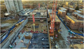
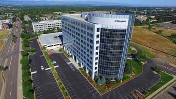
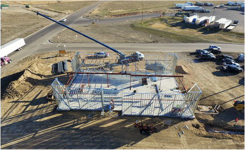
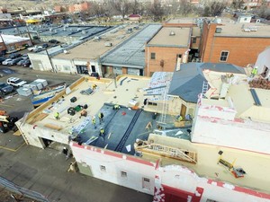
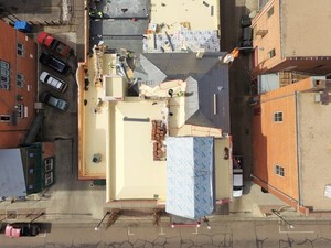
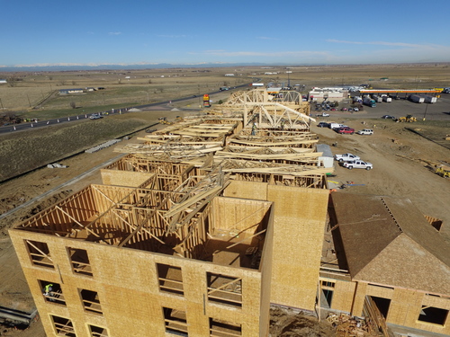
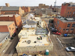
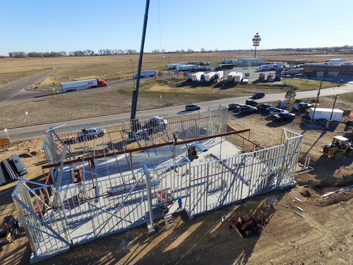
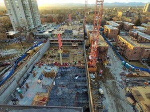
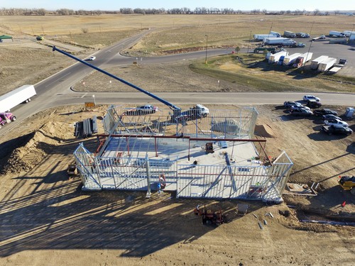
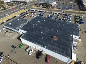
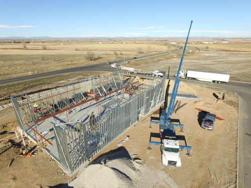
Sample Deliverables
Here are some examples from past projects. The end deliverable for most projects is a consolidated report with summarized findings and recommendations.


Related Services

